Living the Future 6 -- April 6, 20061 The Future of GIS Services in Academic Libraries: Exploring...
26
Living the Future 6 -- April 6, 2006 1 The Future of GIS Services in Academic Libraries: Exploring the Next Step Christine Kollen, Geography & Maps Librarian, Social Sciences Team, University of Arizona Library
-
date post
19-Dec-2015 -
Category
Documents
-
view
214 -
download
0
Transcript of Living the Future 6 -- April 6, 20061 The Future of GIS Services in Academic Libraries: Exploring...
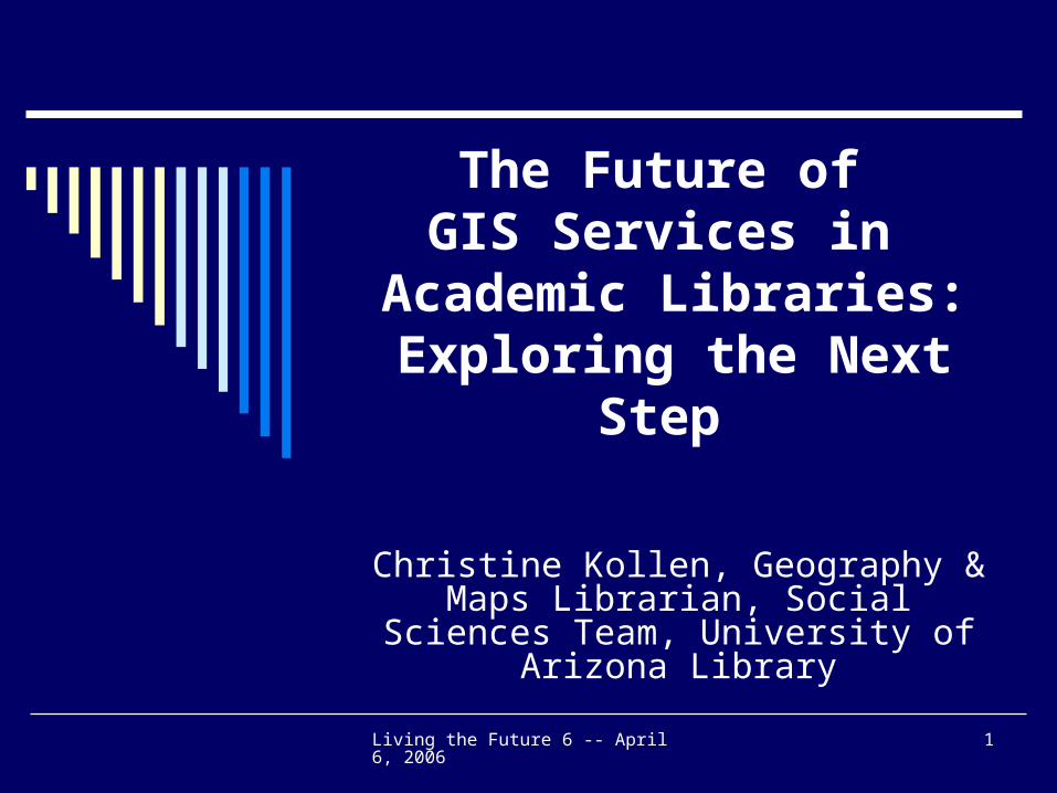
Living the Future 6 -- April 6, 2006 1
The Future of GIS Services in
Academic Libraries: Exploring the Next Step
Christine Kollen, Geography & Maps Librarian, Social Sciences Team,
University of Arizona Library
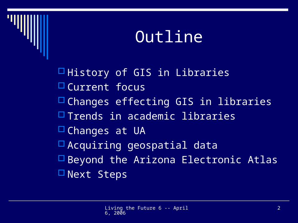
Living the Future 6 -- April 6, 2006 2
Outline
History of GIS in Libraries Current focus Changes effecting GIS in libraries Trends in academic libraries Changes at UA Acquiring geospatial data Beyond the Arizona Electronic Atlas Next Steps
Living the Future 6 -- April 6, 2006 3
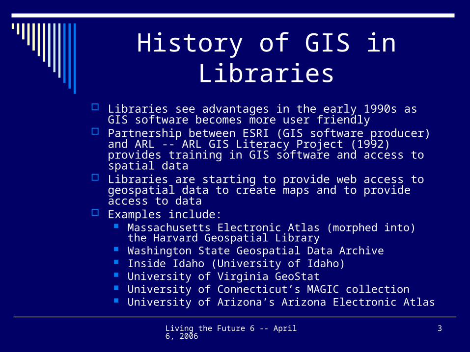
History of GIS in Libraries
Libraries see advantages in the early 1990s as GIS software becomes more user friendly
Partnership between ESRI (GIS software producer) and ARL -- ARL GIS Literacy Project (1992) provides training in GIS software and access to spatial data
Libraries are starting to provide web access to geospatial data to create maps and to provide access to data
Examples include: Massachusetts Electronic Atlas (morphed into) the Harvard
Geospatial Library Washington State Geospatial Data Archive Inside Idaho (University of Idaho) University of Virginia GeoStat University of Connecticut’s MAGIC collection University of Arizona’s Arizona Electronic Atlas
Living the Future 6 -- April 6, 2006 4
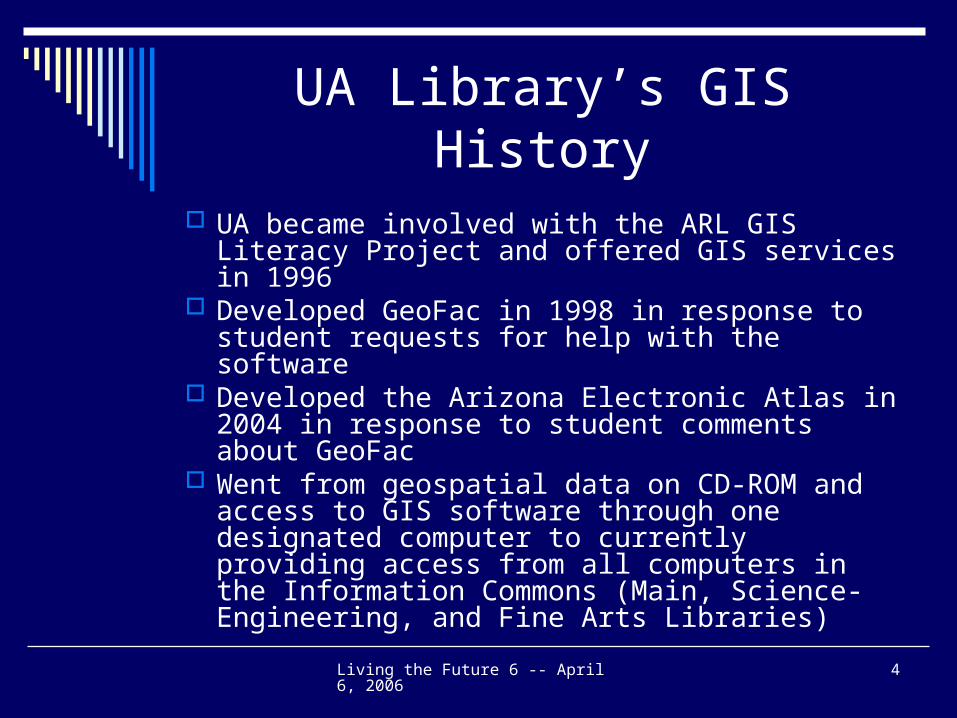
UA Library’s GIS History
UA became involved with the ARL GIS Literacy Project and offered GIS services in 1996
Developed GeoFac in 1998 in response to student requests for help with the software
Developed the Arizona Electronic Atlas in 2004 in response to student comments about GeoFac
Went from geospatial data on CD-ROM and access to GIS software through one designated computer to currently providing access from all computers in the Information Commons (Main, Science-Engineering, and Fine Arts Libraries)
Living the Future 6 -- April 6, 2006 5
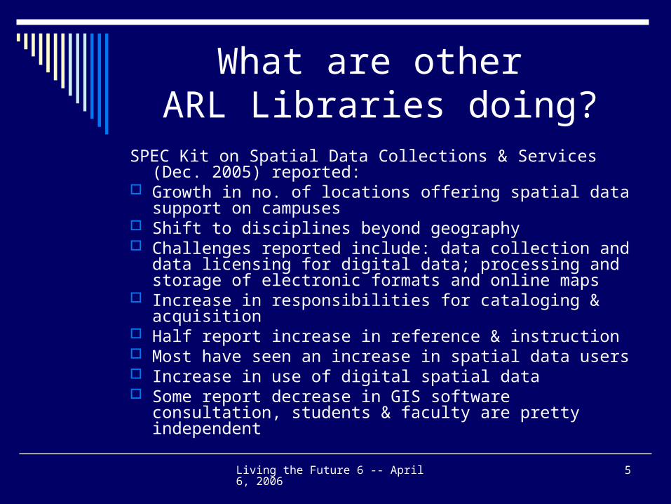
What are other ARL Libraries doing?
SPEC Kit on Spatial Data Collections & Services (Dec. 2005) reported:
Growth in no. of locations offering spatial data support on campuses
Shift to disciplines beyond geography Challenges reported include: data collection and data
licensing for digital data; processing and storage of electronic formats and online maps
Increase in responsibilities for cataloging & acquisition Half report increase in reference & instruction Most have seen an increase in spatial data users Increase in use of digital spatial data Some report decrease in GIS software consultation,
students & faculty are pretty independent
Living the Future 6 -- April 6, 2006 6
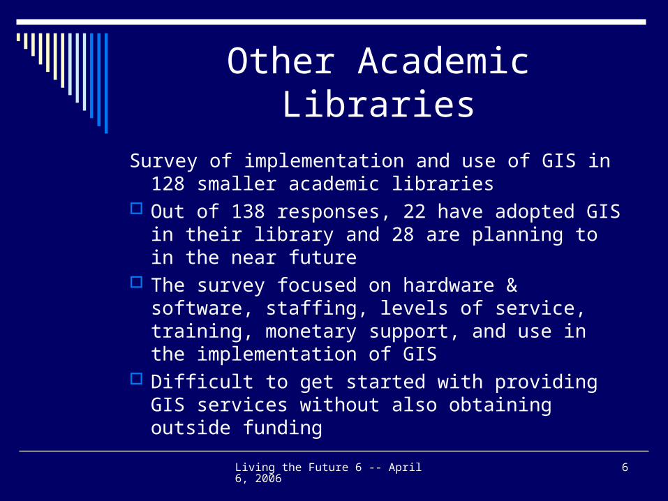
Other Academic Libraries
Survey of implementation and use of GIS in 128 smaller academic libraries
Out of 138 responses, 22 have adopted GIS in their library and 28 are planning to in the near future
The survey focused on hardware & software, staffing, levels of service, training, monetary support, and use in the implementation of GIS
Difficult to get started with providing GIS services without also obtaining outside funding
Living the Future 6 -- April 6, 2006 7
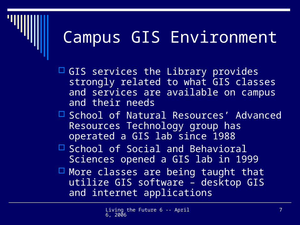
Campus GIS Environment
GIS services the Library provides strongly related to what GIS classes and services are available on campus and their needs
School of Natural Resources’ Advanced Resources Technology group has operated a GIS lab since 1988
School of Social and Behavioral Sciences opened a GIS lab in 1999
More classes are being taught that utilize GIS software – desktop GIS and internet applications
Living the Future 6 -- April 6, 2006 8
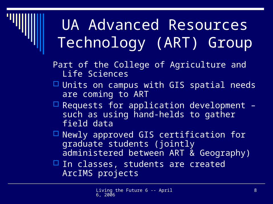
UA Advanced Resources Technology (ART) Group
Part of the College of Agriculture and Life Sciences
Units on campus with GIS spatial needs are coming to ART
Requests for application development – such as using hand-helds to gather field data
Newly approved GIS certification for graduate students (jointly administered between ART & Geography)
In classes, students are created ArcIMS projects
Living the Future 6 -- April 6, 2006 9
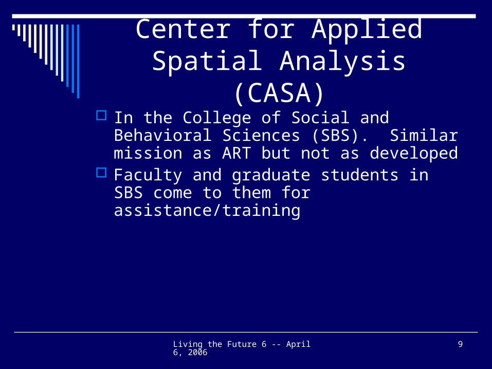
Center for Applied Spatial Analysis (CASA)
In the College of Social and Behavioral Sciences (SBS). Similar mission as ART but not as developed
Faculty and graduate students in SBS come to them for assistance/training
Living the Future 6 -- April 6, 2006 10
GeoVisualization Lab
New lab (fall 2005) in the Dept. of Geography and Regional Development
Combines research, teaching, and collaboration with the community
Lab is mainly for faculty that teach urban revitalization and public funding projects
Work with community groups to help them address an issue or problem
Help community develop GIS skills Students in the classes develop ArcIMS sites
Living the Future 6 -- April 6, 2006 11
Current Focus at UA Library
Arizona Electronic Atlas Acquiring geospatial data Providing GIS software and data help
Living the Future 6 -- April 6, 2006 12
Changes that are effecting GIS in Libraries
GIS is evolving to a federated technology – will be distributed and federated
Organized in metadata catalogs requiring interoperability and content guidelines
Increased availability of online geospatial data especially for the United States – as an example the release of the U.S.Geological Survey National Map
GIS for the Nation – participants from NGOs, federal, state, local & universities
Living the Future 6 -- April 6, 2006 13
Changes that are effecting GIS in Libraries (cont.)
Online interactive mapping, such as MapQuest
Google’s release of Google Earth and Google Map’s APIs
Integration of GIS into non-geography classes
Living the Future 6 -- April 6, 2006 14
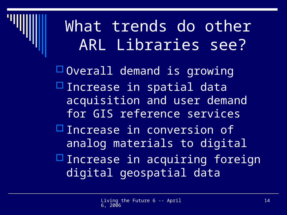
What trends do other ARL Libraries see?
Overall demand is growing Increase in spatial data acquisition and
user demand for GIS reference services Increase in conversion of analog
materials to digital Increase in acquiring foreign digital
geospatial data
Living the Future 6 -- April 6, 2006 15
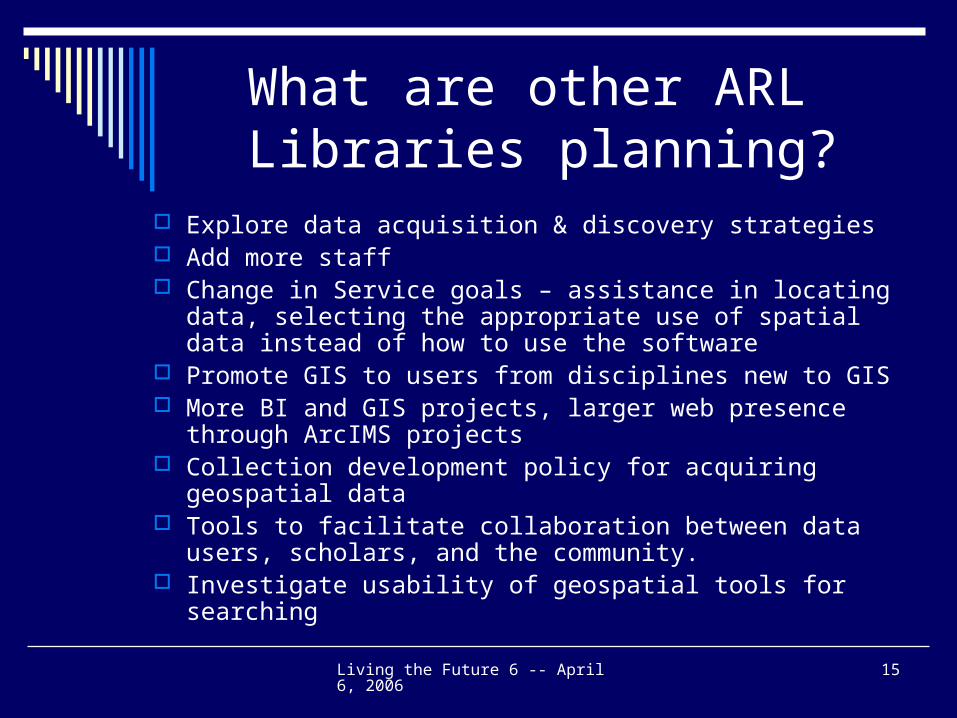
What are other ARL Libraries planning?
Explore data acquisition & discovery strategies Add more staff Change in Service goals – assistance in locating data,
selecting the appropriate use of spatial data instead of how to use the software
Promote GIS to users from disciplines new to GIS More BI and GIS projects, larger web presence through
ArcIMS projects Collection development policy for acquiring geospatial data Tools to facilitate collaboration between data users, scholars,
and the community. Investigate usability of geospatial tools for searching
Living the Future 6 -- April 6, 2006 16
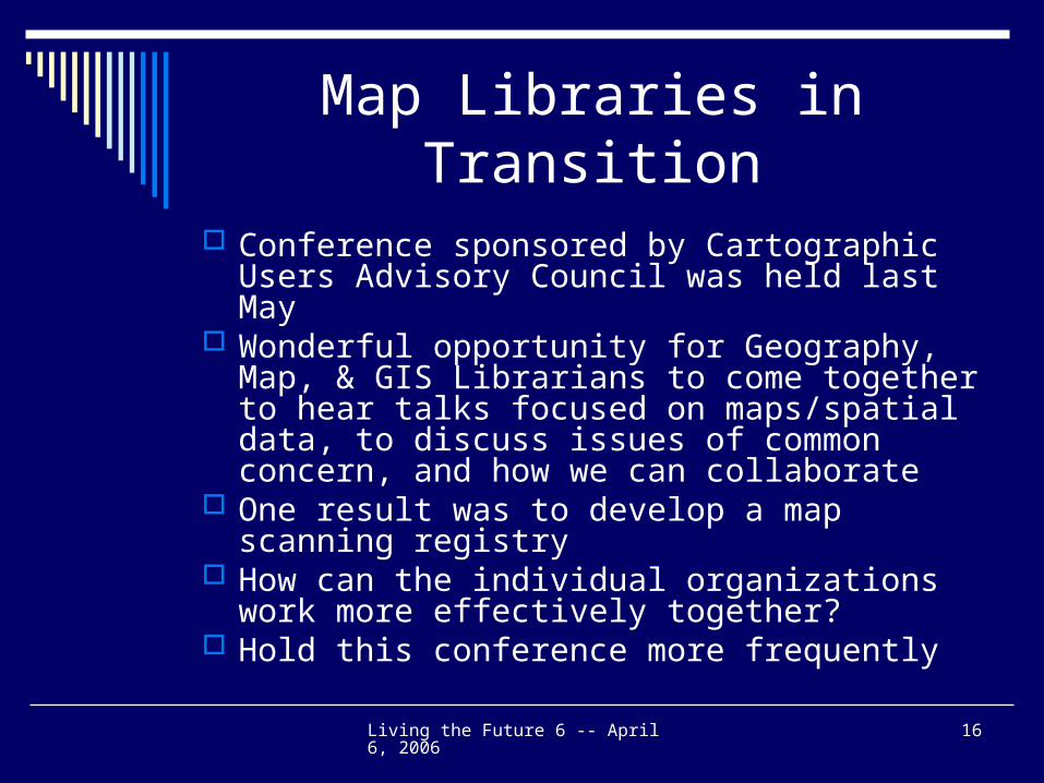
Map Libraries in Transition
Conference sponsored by Cartographic Users Advisory Council was held last May
Wonderful opportunity for Geography, Map, & GIS Librarians to come together to hear talks focused on maps/spatial data, to discuss issues of common concern, and how we can collaborate
One result was to develop a map scanning registry
How can the individual organizations work more effectively together?
Hold this conference more frequently
Living the Future 6 -- April 6, 2006 17
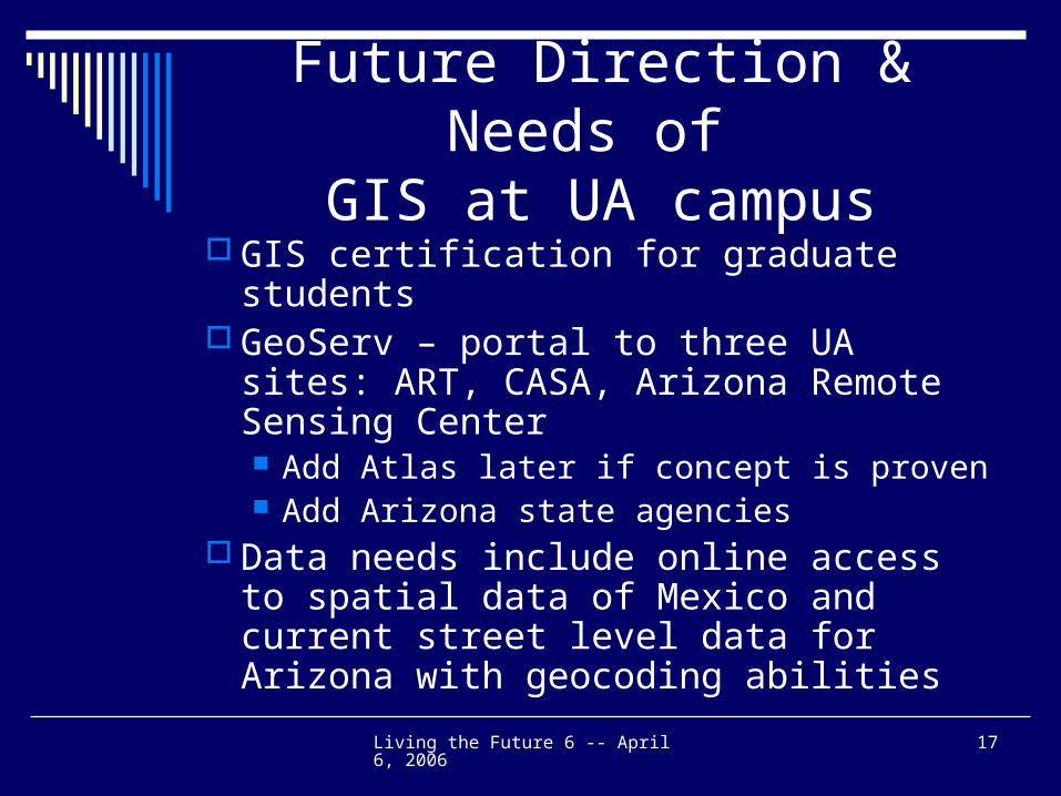
Future Direction & Needs of GIS at UA campus
GIS certification for graduate students GeoServ – portal to three UA sites: ART,
CASA, Arizona Remote Sensing Center Add Atlas later if concept is proven Add Arizona state agencies
Data needs include online access to spatial data of Mexico and current street level data for Arizona with geocoding abilities
Living the Future 6 -- April 6, 2006 18
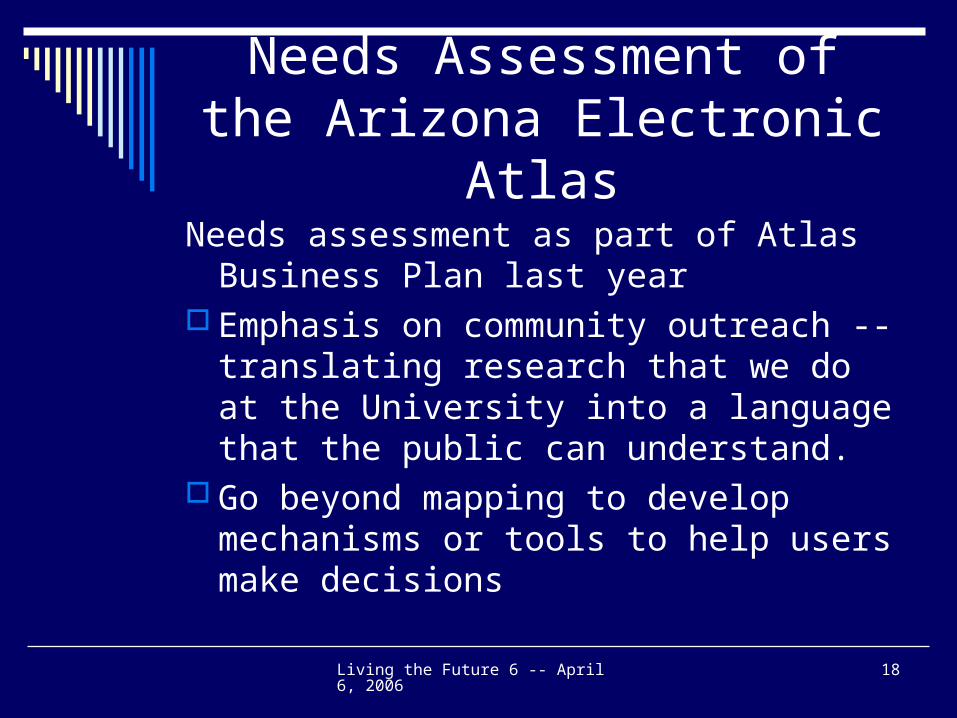
Needs Assessment of the Arizona Electronic Atlas
Needs assessment as part of Atlas Business Plan last year
Emphasis on community outreach -- translating research that we do at the University into a language that the public can understand.
Go beyond mapping to develop mechanisms or tools to help users make decisions
Living the Future 6 -- April 6, 2006 19
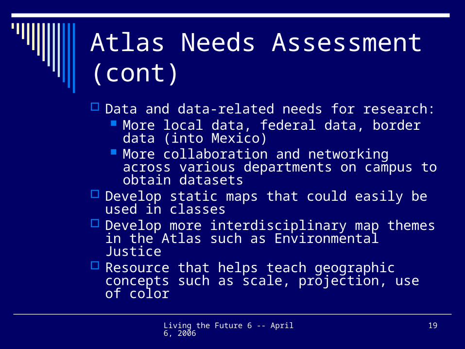
Atlas Needs Assessment (cont)
Data and data-related needs for research: More local data, federal data, border data
(into Mexico) More collaboration and networking across
various departments on campus to obtain datasets
Develop static maps that could easily be used in classes
Develop more interdisciplinary map themes in the Atlas such as Environmental Justice
Resource that helps teach geographic concepts such as scale, projection, use of color
Living the Future 6 -- April 6, 2006 20
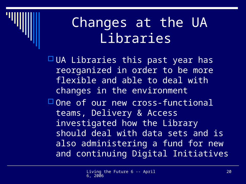
Changes at the UA Libraries
UA Libraries this past year has reorganized in order to be more flexible and able to deal with changes in the environment
One of our new cross-functional teams, Delivery & Access investigated how the Library should deal with data sets and is also administering a fund for new and continuing Digital Initiatives
Living the Future 6 -- April 6, 2006 21
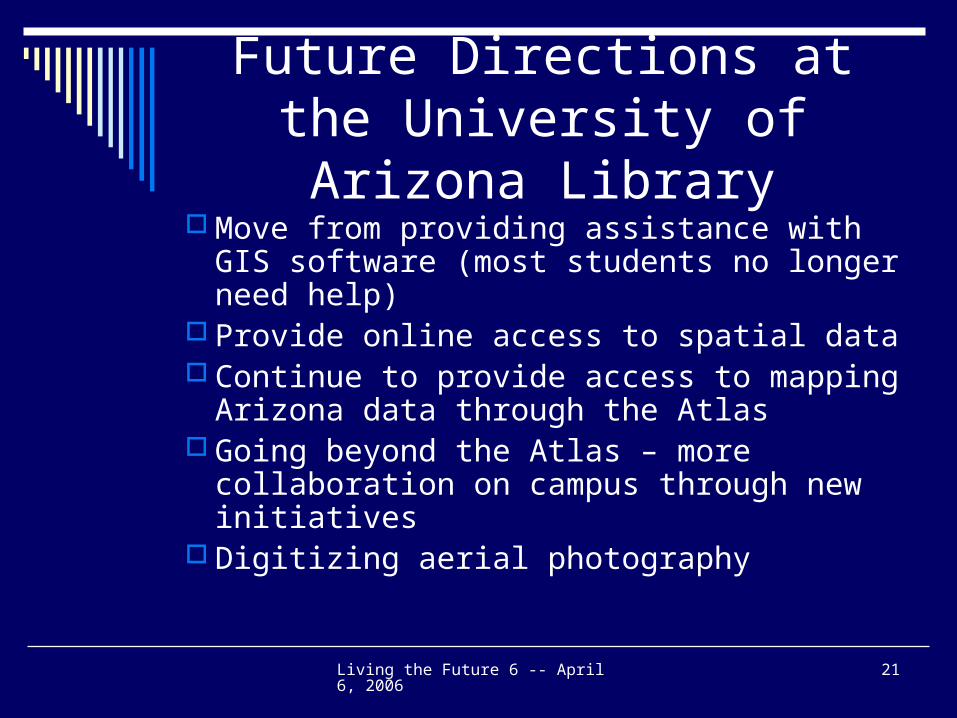
Future Directions at the University of Arizona Library
Move from providing assistance with GIS software (most students no longer need help)
Provide online access to spatial data Continue to provide access to mapping
Arizona data through the Atlas Going beyond the Atlas – more
collaboration on campus through new initiatives
Digitizing aerial photography
Living the Future 6 -- April 6, 2006 22
Acquiring Geospatial Data
Faculty and students in general are requesting that more and more information be available online
A lot of U.S. geospatial data is available online Exceptions include current streets and local data
Majority of information published by the federal government is available online – maps are not
Country data is needed Deciding what to purchase (take into account the
cost and licensing) Spatial data for Mexico and other Latin
American countries
Living the Future 6 -- April 6, 2006 23
Decision Support Tools & Translating Science for the Public
Move to go beyond ArcIMS applications such as the Atlas to create more of a decision support tool
Need to translate science occurring at the universities into information the public can use
Example: Geography’s GeoVisualization Lab and use of CommunityViz
Example: Arid Land’s WALTER site
Living the Future 6 -- April 6, 2006 24
New Initiative
Need outside funding to move forward with the Atlas
Importance of collaborating with other units on campus Importance of identifying units with similar
interests and challenges ClimateView How is the approach to ClimateView
different than the Atlas?
Living the Future 6 -- April 6, 2006 25
What’s Next?
Work with groups on campus to integrate the use of ClimateView into the curriculum
Move on to other topics of importance to the campus and the state
Continue developing these modules that work with the Atlas and provide key learning modules
Living the Future 6 -- April 6, 2006 26
Questions?