El yunque
20
El Yunque : Tropical Rainforest of Puerto Rico Dr. Enríquez Rodríguez- Borrero Dr. Félix Velázquez-Soto, UPR-Cayey RISE program
-
Upload
ingrid-melendez-nieves -
Category
Technology
-
view
160 -
download
3
Transcript of El yunque
El Yunque:Tropical Rainforest of Puerto Rico
Dr. Enríquez Rodríguez- Borrero
Dr. Félix Velázquez-Soto,
UPR-Cayey
RISE program

Group Members
Génesis Thays Santos-Cotto
Michelle C. Pérez-Ayala
José David Centeno-Pagán
Jariel Yamil Ramírez-Virella
Valeria María Nieves-Rivera
Nicole S. Rivera-Espinal
Ingrid M. Meléndez-Nieves
Paola Morales-Muñiz
Alejandra Martínez-Rivera
Alexander Colón-Romero
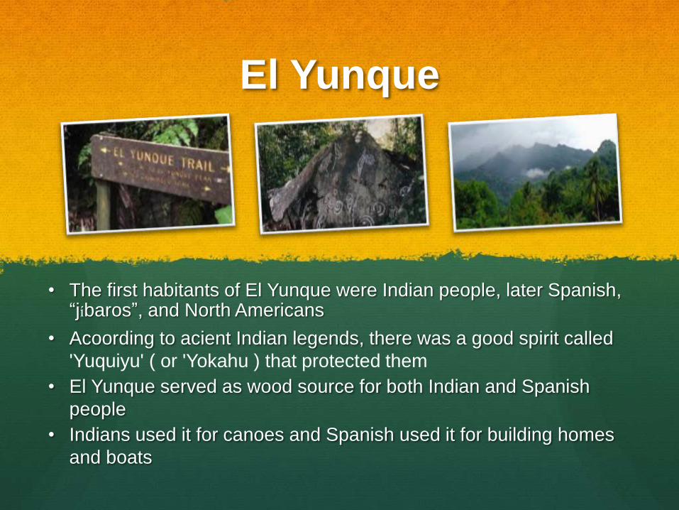
El Yunque
• The first habitants of El Yunque were Indian people, later Spanish, “jíbaros”, and North Americans
• Acoording to acient Indian legends, there was a good spirit called
'Yuquiyu' ( or 'Yokahu ) that protected them
• El Yunque served as wood source for both Indian and Spanish
people
• Indians used it for canoes and Spanish used it for building homes
and boats
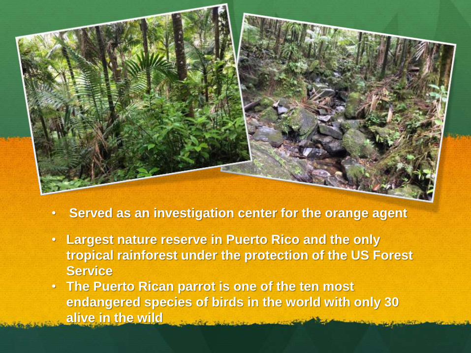
• Served as an investigation center for the orange agent
• Largest nature reserve in Puerto Rico and the only
tropical rainforest under the protection of the US Forest
Service
• The Puerto Rican parrot is one of the ten most
endangered species of birds in the world with only 30
alive in the wild
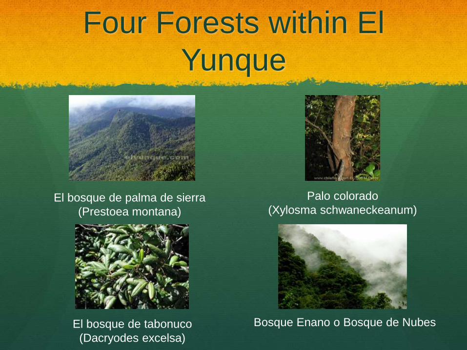
Four Forests within El
Yunque
Palo colorado
(Xylosma schwaneckeanum)El bosque de palma de sierra
(Prestoea montana)
El bosque de tabonuco
(Dacryodes excelsa)
Bosque Enano o Bosque de Nubes

Purposes
Measure and observe:
Flora and fauna
Endemic species
Native species
Environmental conditions of different locations
Geographical diversity within an ecosystem
Tour guidance
Dr. Enríquez Rodríguez- Borrero and Dr.
Félix Velázquez-Soto were guides of the El
Yunque trip.
Dr. Félix Velázquez-Soto experience
includes:
Different habitats,
Plant species
Animal life
Natural substances and resources

Environmental Study
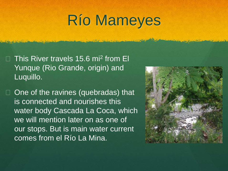
Río Mameyes
This River travels 15.6 mi2 from El
Yunque (Rio Grande, origin) and
Luquillo.
One of the ravines (quebradas) that
is connected and nourishes this
water body Cascada La Coca, which
we will mention later on as one of
our stops. But is main water current
comes from el Río La Mina.
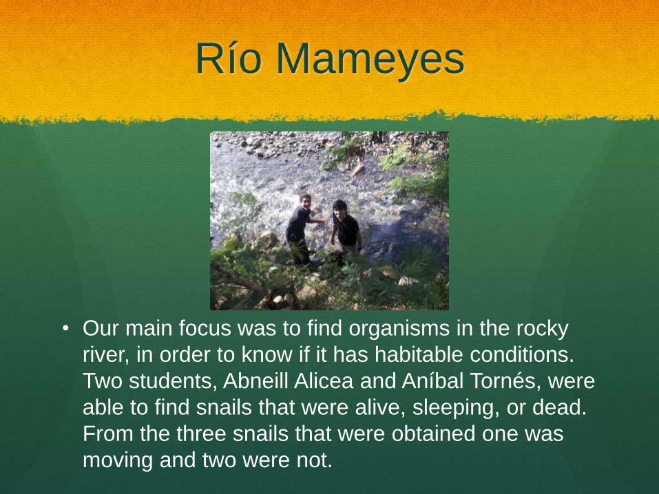
Río Mameyes
• Our main focus was to find organisms in the rocky
river, in order to know if it has habitable conditions.
Two students, Abneill Alicea and Aníbal Tornés, were
able to find snails that were alive, sleeping, or dead.
From the three snails that were obtained one was
moving and two were not.
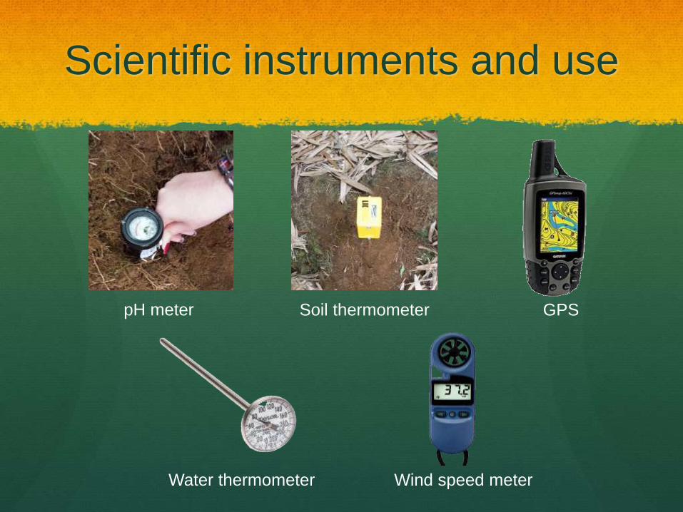
Scientific instruments and use
Soil thermometerpH meter GPS
Water thermometer Wind speed meter
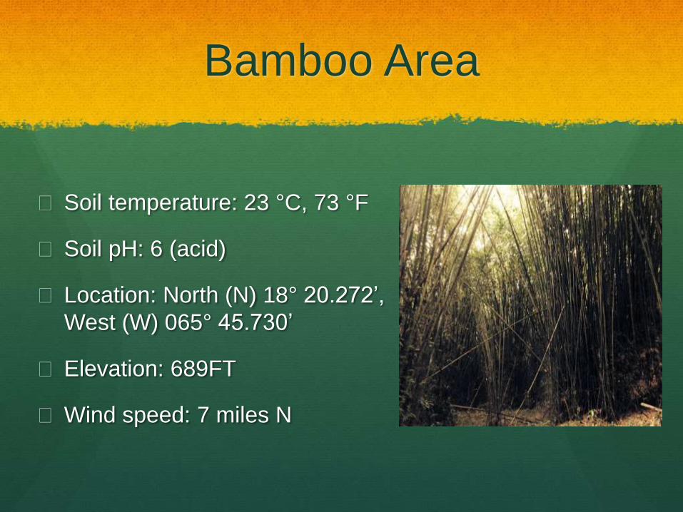
Bamboo Area
Soil temperature: 23 °C, 73 °F
Soil pH: 6 (acid)
Location: North (N) 18° 20.272’,
West (W) 065° 45.730’
Elevation: 689FT
Wind speed: 7 miles N
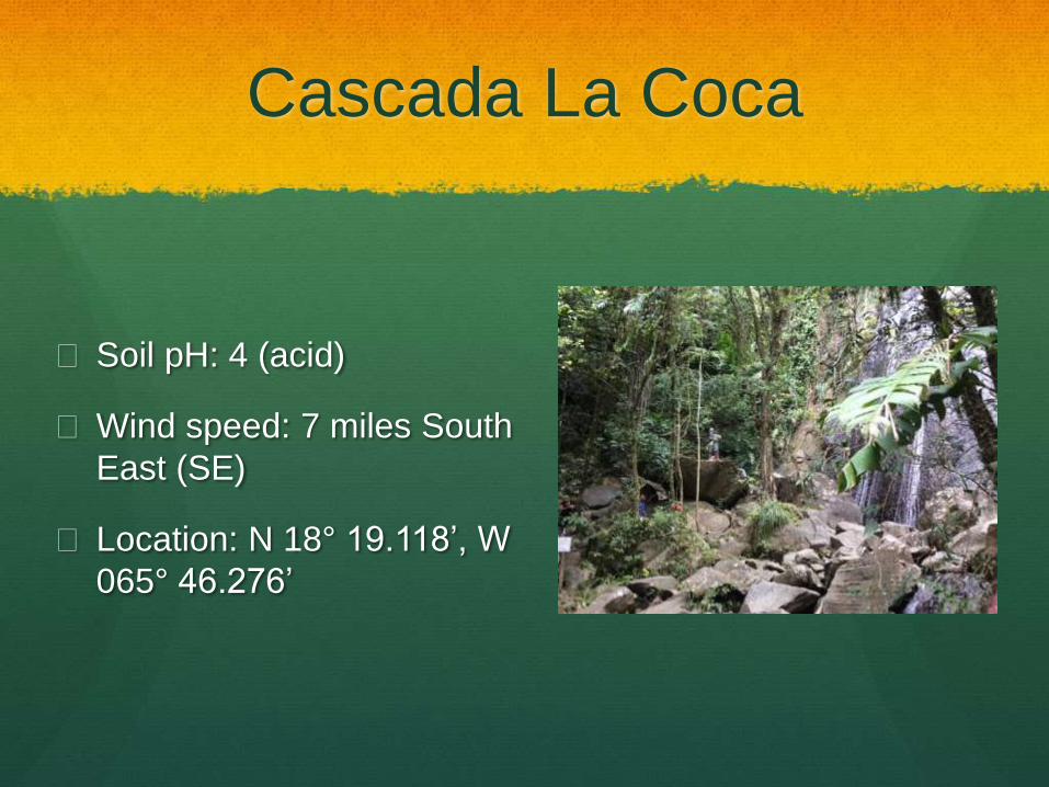
Cascada La Coca
Soil pH: 4 (acid)
Wind speed: 7 miles South
East (SE)
Location: N 18° 19.118’, W
065° 46.276’
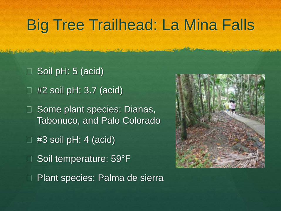
Big Tree Trailhead: La Mina Falls
Soil pH: 5 (acid)
#2 soil pH: 3.7 (acid)
Some plant species: Dianas,
Tabonuco, and Palo Colorado
#3 soil pH: 4 (acid)
Soil temperature: 59°F
Plant species: Palma de sierra
Railroad leading to “The Rock”
Location: N 18° 18.173’, W 065° 47.076’
Elevation: 2,164 FT
Soil Temperature: 56°F
Animal species: Polluelos and Cotorras de Puerto Rico
#2 Soil temperature: 88°F
#2 pH: 6 (acid)
Plant species: Helecho de Montaña with thorns (“espinas”)
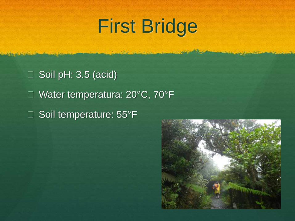
First Bridge
Soil pH: 3.5 (acid)
Water temperatura: 20°C, 70°F
Soil temperature: 55°F
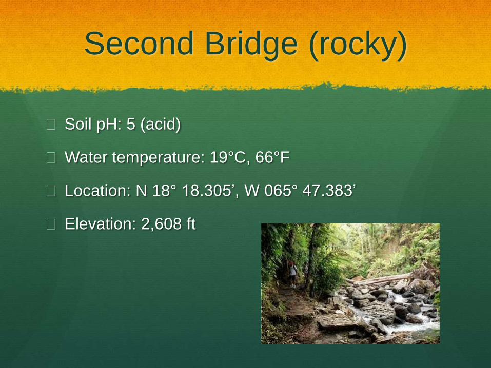
Second Bridge (rocky)
Soil pH: 5 (acid)
Water temperature: 19°C, 66°F
Location: N 18° 18.305’, W 065° 47.383’
Elevation: 2,608 ft
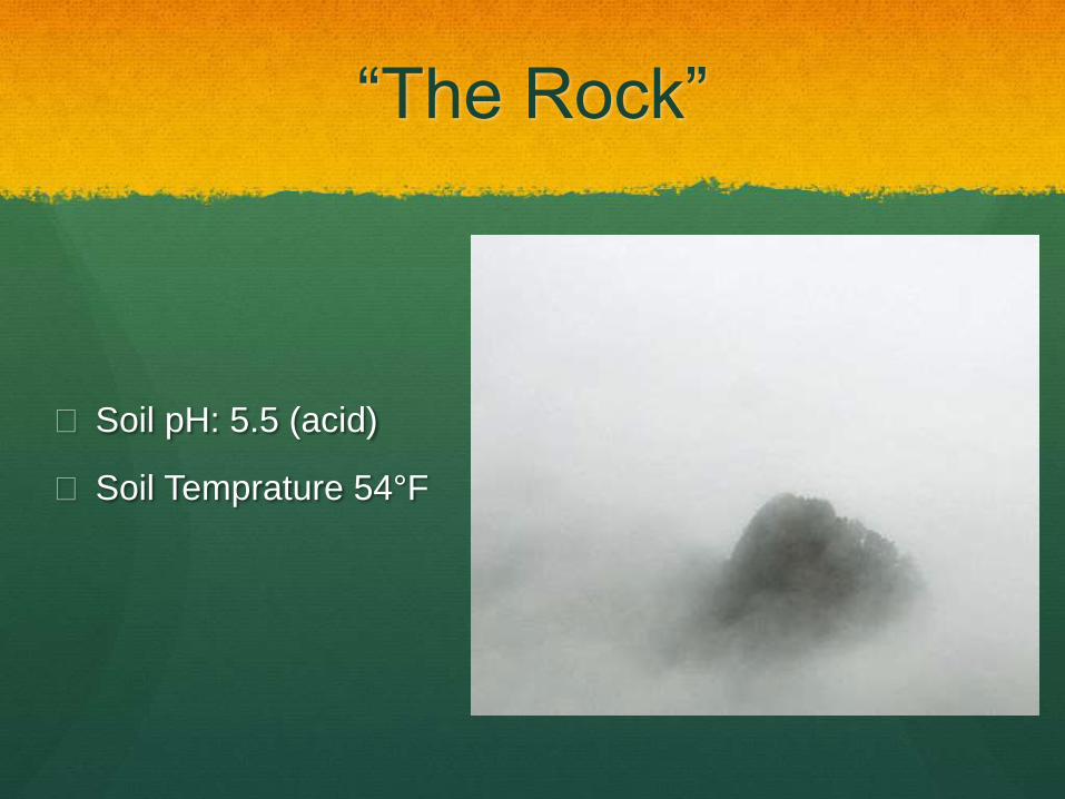
“The Rock”
Soil pH: 5.5 (acid)
Soil Temprature 54°F

Conclusions
Height is inversely proportional
to temperature.
Temperature is proportional to
pH.
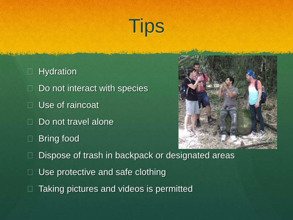
Tips
Hydration
Do not interact with species
Use of raincoat
Do not travel alone
Bring food
Dispose of trash in backpack or designated areas
Use protective and safe clothing
Taking pictures and videos is permitted