ขยายกริยาเรียงไว้หลังกริยา The old woman walks slowly . หญิงชราคนนั้นเดินอย่างช้าๆ
To Whitlingham
To Norwich 4 miles
Bramerton
To Rockland St Mary
2 miles
Surlingham
Surlingham Ferry House
SurlinghamChurch Marsh
R.S.P.B.Nature Reserve
To Ted Ellis Trust at
Wheatfen Nature Reserve
To Coldham Hall Tavern
St Saviours Church (ruin)
SurlinghamParish Church
River Y
are
Brundall
Postwick
Bird Hide
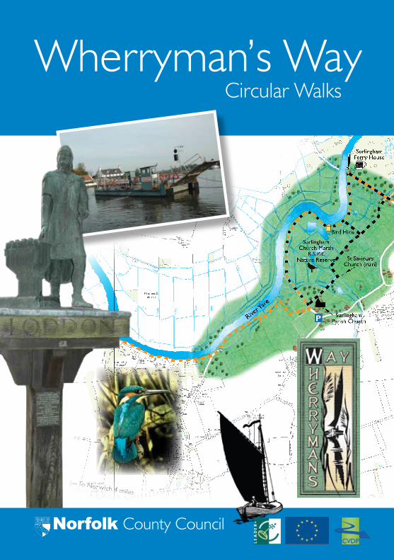
Wherryman’s WayCircular Walks
Norfolk County Council

1
Contents
Introduction page 2
Wherries and wherryman page 3
Circular walks page 4
Walk 1 Whitlingham page 6
Walk 2 Bramerton page 10
Walk 3 Surlingham page 14
Walk 4 Rockland St Mary page 18
Walk 5 Claxton page 22
Walk 6 Langley with Hardley page 26
Wherryman’s Way map page 30
Walk 7 Chedgrave page 32
Walk 8 Loddon page 36
Walk 9 Loddon Ingloss page 40
Walk 10 Loddon – Warren Hills page 44
Walk 11 Reedham page 48
Walk 12 Berney Arms page 52
Project information page 56
If you would like this document in large print, audio, Braille, alternative format or in a different language please contact Paul Ryan on 01603 223317, minicom 01603 223833 or [email protected]
2 3
The tranquillity
and placidity of the landscape was
marvellous – you might have heard a pin drop.
The landscape seemed asleep, save where the smoke from the burning brick kiln floated lazily through the air shadowing an angler trudging home in the yellow splendour of the sinking sun.
P.H. Emerson, 1893 - a well travelled, pioneering photographer and author.
“
”
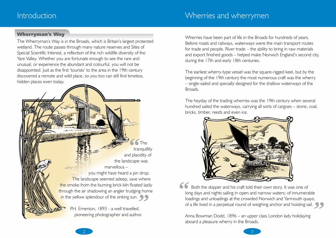
Introduction
Wherryman’s WayThe Wherryman’s Way is in the Broads, which is Britain’s largest protected wetland. The route passes through many nature reserves and Sites of Special Scientific Interest, a reflection of the rich wildlife diversity of the Yare Valley. Whether you are fortunate enough to see the rare and unusual, or experience the abundant and colourful, you will not be disappointed. Just as the first ‘tourists’ to the area in the 19th century discovered a remote and wild place, so you too can still find timeless, hidden places even today.
“ Both the skipper and his craft told their own story. It was one of long days and nights sailing in open and narrow waters; of innumerable loadings and unloadings at the crowded Norwich and Yarmouth quays; of a life lived in a perpetual round of weighing anchor and hoisting sail.
Anna Bowman Dodd, 1896 – an upper class London lady holidaying aboard a pleasure wherry in the Broads.
”
Wherries have been part of life in the Broads for hundreds of years. Before roads and railways, waterways were the main transport routes for trade and people. River trade – the ability to bring in raw materials and export finished goods – helped make Norwich England’s second city, during the 17th and early 18th centuries.
The earliest wherry-type vessel was the square-rigged keel, but by the beginning of the 19th century the most numerous craft was the wherry – single-sailed and specially designed for the shallow waterways of the Broads.
The heyday of the trading wherries was the 19th century when several hundred sailed the waterways, carrying all sorts of cargoes – stone, coal, bricks, timber, reeds and even ice.
Wherries and wherrymen
4 5
Getting aroundMost towns and villages and many of the places featured in this guide can be reached by public transport, so why not leave the car behind and explore the Broads by other means? For information about trains and buses contact Traveline on 0871 200 2233 or visit www.travelineeastanglia.co.uk
Train: Stations are located at: Norwich, Brundall, Buckenham, Cantley, Reedham, Berney Arms, Great Yarmouth.
Bus: Contact Traveline for journey information.
Cycle: There are miles of quiet country lanes and tracks to explore in this largely undiscovered part of Norfolk.
Riverbus: Why not do part of your journey by river and walk back? The Riverbus from Norwich stops at Whitlingham Country Park on a scheduled route. Telephone 01603 701701 or visit www.cityboats.co.uk for information on sailings, prices etc.
Boat: There are free 24 hour moorings along the route and many pubs have customer moorings. Why not mix boot with boat to get a view of Wherryman’s Way from land and water?
Places to stayFor those wanting to do the whole route, accommodation along the way will be necessary. There is a campsite at Reedham Ferry and there are many small, independent B&Bs along the route to offer you a wonderful base for exploring the area.
For more information visit www.wherrymansway.net
Circular walks
Wherryman’s Way Circular WalksThere are 12 circular walks in this booklet, all based around Wherryman’s Way which runs between Norwich and Great Yarmouth. Each walk comes complete with directions, a user-friendly map and is waymarked on the ground. Information about the walks is included giving details such as distances, estimated walk times, path surfaces and facilities available. The map in the centre pages of the booklet shows the route of Wherryman’s Way and the locations of the 12 circular walks. Pick a walk and enjoy!
Easy access opportunities Paths suitable for wheelchair users and pushchairs can be found at Whitlingham, Rockland St Mary Staithe and Chedgrave Common – see the maps and website for details.
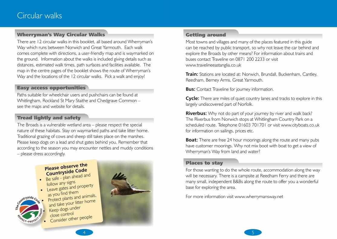
Tread lightly and safety The Broads is a vulnerable wetland area – please respect the special nature of these habitats. Stay on waymarked paths and take litter home. Traditional grazing of cows and sheep still takes place on the marshes. Please keep dogs on a lead and shut gates behind you. Remember that according to the season you may encounter nettles and muddy conditions – please dress accordingly.
Please observe the
Countryside Code
Be safe - plan ahead and •
follow any signs
Leave gates and property •
as you find them
Protect plants and animals, •
and take your litter home
Keep dogs under •
close control
Consider other people•
56
FundingThis project was supported by the Broads & Rivers LEADER+ Programme and the European Union, Norfolk County Council and the Chet Valley Development Partnership.
Project information
Norfolk
AcknowledgementsMany thanks to the people who volunteered to rewalk these routes and write descriptions for this booklet, in particular – Norman Wyatt, Brian Ansell and Brian Cox. Also thanks to the Broads Authority for their assistance in maintaining the paths that make up Wherryman’s Way.
Websites
• www.wherrymansway.net • www.southernbroads.com• www.wherrylines.org.uk • www.broads-authority.gov.uk• www.countrysideaccess.norfolk.gov.uk• www.travelineeastanglia.co.uk
ContactIf you have any comments regarding these walks or Wherryman’s Way itself, whether good or not so good – tell us what you think!Write to: Norfolk County Council, County Hall, Martineau Lane, Norwich NR1 2SGemail: [email protected]: 01603 223317
• All information correct at time of going to press (February 2008)• Printed on recycled paper using vegetable based inks G
1924
2 2/
08 C
B